Historical Imagery Viewer

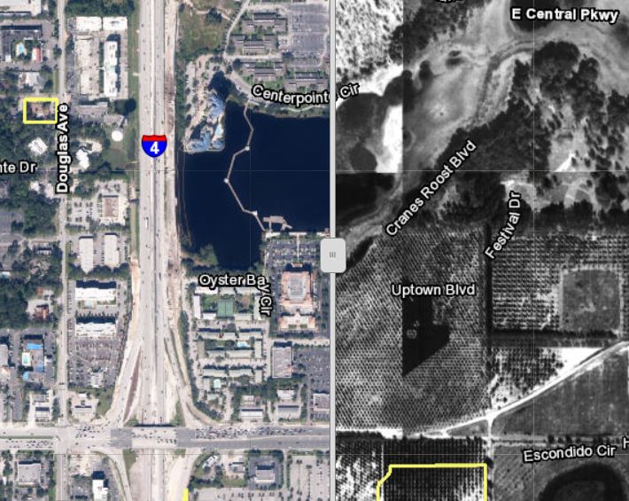
The City of Altamonte Springs Historical Imagery Viewer allows City residents and staff to compare present day and historical imagery side-by-side. Built using Esri’s Web AppBuilder, the viewer features a slider bar which users can pan from side-to-side to see the difference between the two sets of imagery. The viewers contains imagery dating back to 1948 and a reference map from the Library of Congress from 1890!
The Historical Imagery Viewer is available to the public on the City of Altamonte Springs’ GIS web page.
East End Labor Market Report
In 2014, I worked as a GIS Intern for the Three Rivers Workforce Investment Board (now known as Partner4Work) where I contributed to a series of reports analyzing Pittsburgh’s workforce.
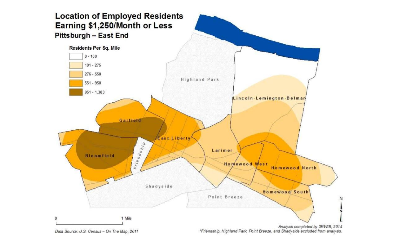
The most notable report was the East End Labor Market report which was covered by local news paper (The Pittsburgh Post Gazette) and the local NPR station (90.5 WESA).
The full report East End Labor Market Report is available from Partner4Work’s website, and many more substantiating maps can be found in East End Labor Market Report Appendices.
Custom ArcGIS Online Basemaps
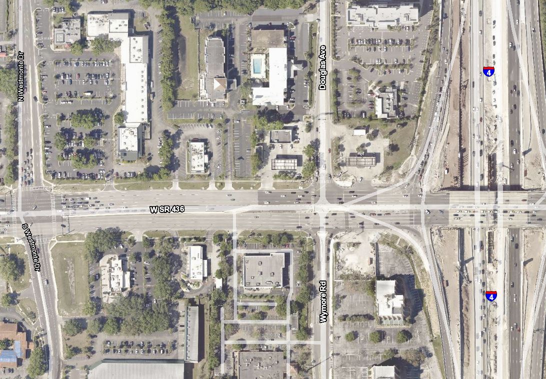
I created a set of custom basemaps for Altamonte Springs’ internal and public facing ArcGIS Online web maps using the City’s high resolution aerial imagery and authoritative street centerline information. This project involved publishing the City’s high resolution aerial imagery as an image service to ArcGIS Server as well as designing and publishing the City’s street centerline information as reference labels in a map service.
Having the City’s web maps all use one of the custom basemaps by default standardizes the end user’s experience with the City’s web GIS across multiple web applications. It also ensures that the City’s internal and public facing web applications always have a clean, professional-looking basemap that is legible for the end user.
Throughout the project, I ran into and logged several bugs with Esri’s technical support. I created documentation for the City on how these bugs affected the project and the workarounds I implemented to achieve the end result.
I presented on this project at the 2018 Central Florida GIS Workshop with my presentation “Creating & Standardizing Custom ArcGIS Online Basemaps”.

